Watershed District Webmapping
Watershed District Web Mapping
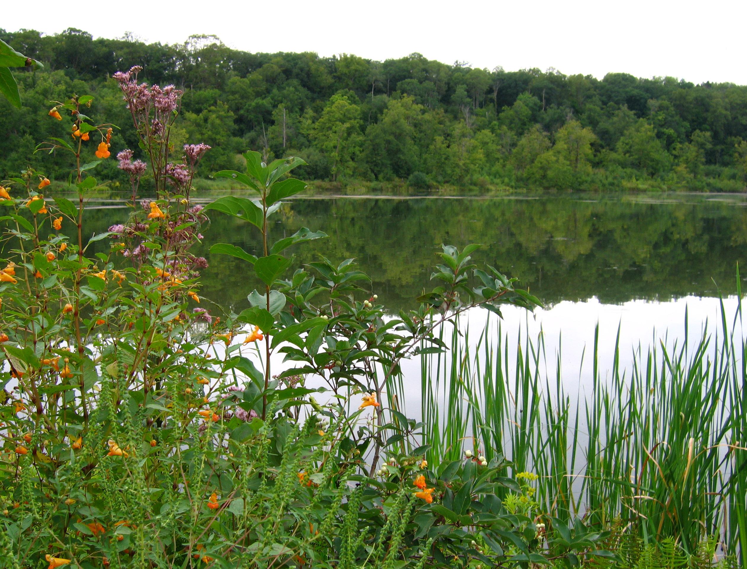
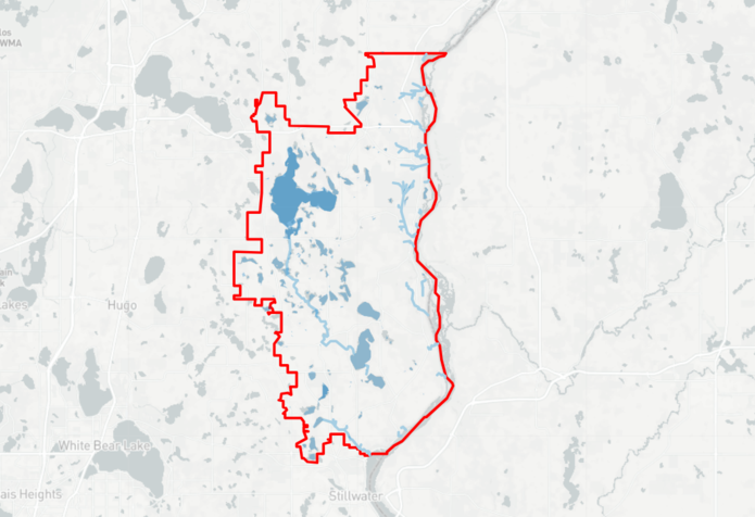
EOR developed a full stack open-source web mapping tool for the Carnelian Marine-on-St. Croix Watershed District to view spatial data. The map used open-source technology to aid in customization and avoids high-cost maintenance. The application contains a login protocol to further facilitate the watershed district in viewing sensitive data not for the public. Part of this tool was designed to engage stakeholders to view and become familiar with the watershed. There are buttons to direct a user to their address or current location. They can also print and view descriptions of the data.
Client Benefits
- Increased visibility to important geospatial data layers
- View data from anywhere (not only from desktop)
- Allows a private interface for sensitive data
- Long term, cost-effective maintenance (open-source tools)
- Easily customized per needs
- Can build upon for future use
- Public engagement
GIS/Drone Related Projects
Watershed Mgmt. Plans
Third-Generation Watershed Mgmt. Plan, represents 30 years of continuous planning for client.
Bixby Park Wetland
Wetland restoration reduced phosphorus loading and improved water quality in Parley Lake.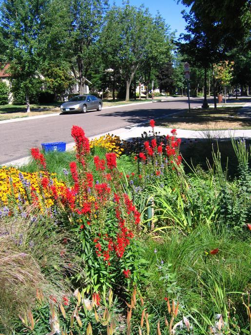
Community Raingardens
Award-winning project used BMPs to address community flooding in and reduce overall project cost.