GIS Lead:
Team Lead: Sarah Voje --- 651.203.2029 / GIS@eorinc.com
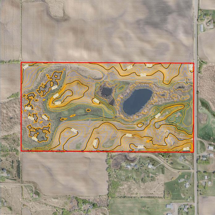
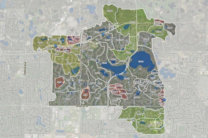
EOR’s GIS team understands spatial data is a powerful tool in both visualization and analysis. Our multidisciplinary team is skilled in both concisely conveying information in map form as well as conducting detailed spatial analytics. We employ GIS best practices on our projects which range from modeling and ecological restoration to stormwater management planning, community development and permitting.
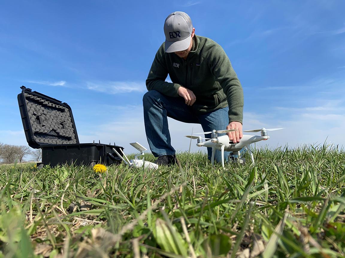
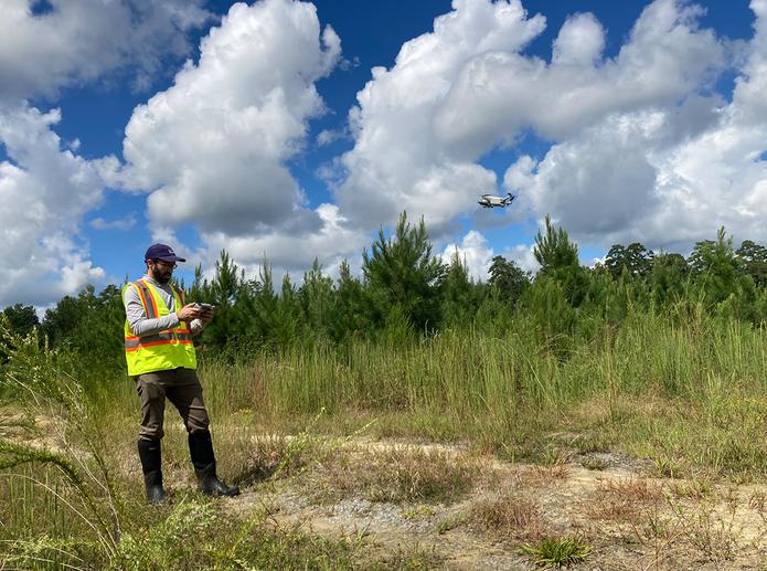
Our GIS team uses emerging technologies including proprietary, custom design web-mapping applications, database design and open-source options to meet our client’s technological needs and financial budgets. Our Drone and Video capabilities complement our GIS mapping and offer additional services beyond mapping, including visual documentation support and field verification for our clients and our project teams.
Team Lead: Sarah Voje --- 651.203.2029 / GIS@eorinc.com

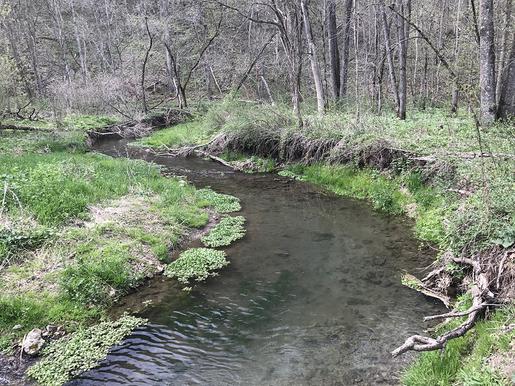
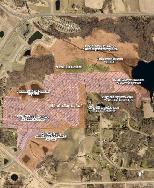
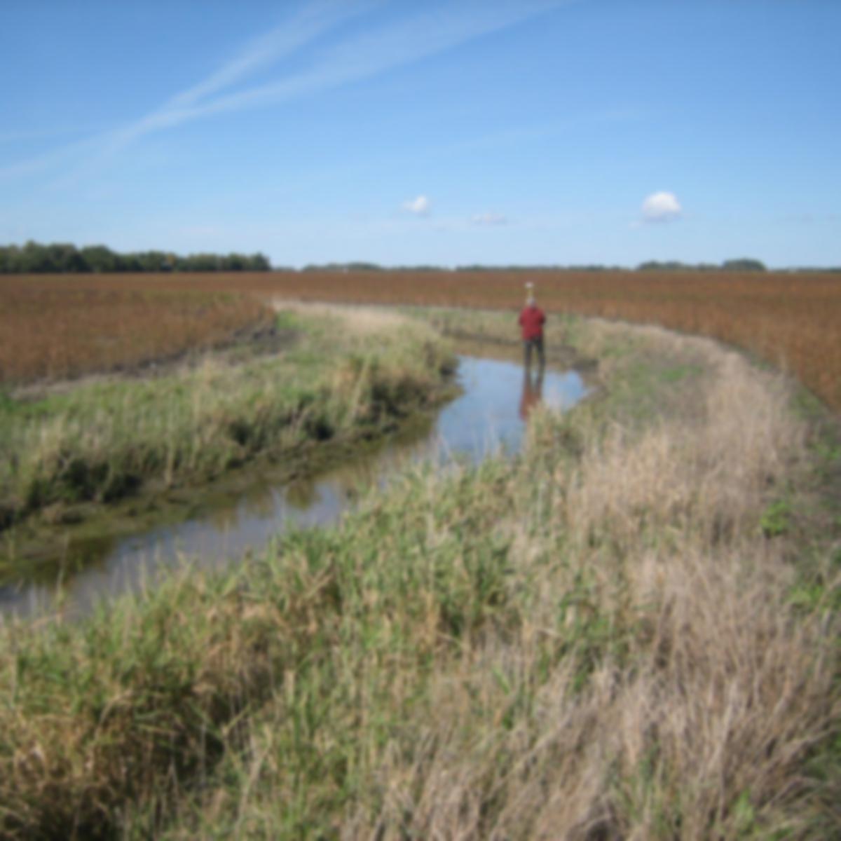
Examples above represent just a small sampling of our projects.