Drone use for ESA Reporting
Drone Documentation for ESAs
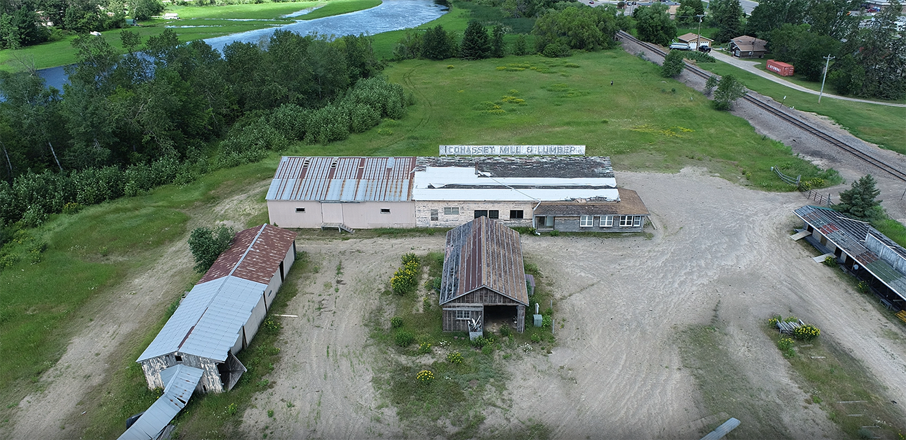
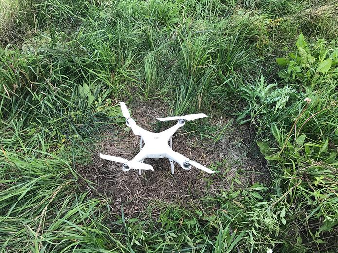
EOR's team of drone pilots employ drones to document conditions in inaccessible areas for environmental site assessments, that are often required on several of our renewable energy projects. Drones aid and can expedite the on-site assessment process, enhance field safety for site assessors, and provides more thorough coverage of large sites.
EOR performs numerous site assessments for various project types and the use of drone documentation aids us in covering larger, challenging sites from meandering water bodies and vast agricultural fields to post-industrial land use activities, all of which all need to be documented for future planning and design needs.
Client Benefits
- Drone documentation allows for high quality photos for use in required reports
- HD drone videos provide a snapshot of site conditions, that can be archived for future reference, as well as used to track changes to the site from extreme weather events to construction progress.
- Drone documentation allows site conditions to be captured more easily than from aerial photos
- Drone technologies can assist clients on a variety of project types, as shown here
Related Projects
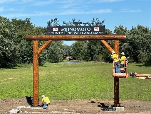
Ajinomoto Wetland Bank
Providing wetland mitigation credits in a flood prone area for wetland impacts due to an agricultural facility expansion.
Iowa Bridge Replacement
Unique cultural approach and mitigation program for a historic bridge in a rural Iowa.
CEA for Pipeline Re-Route
Comparative Environmental Analysis (CEA) for re-routing an existing pipeline below the Pipestone National Monument.