Wetland Rezoning for Solar
Advanced Modeling Used to Support Re-zoning Wetland for Solar
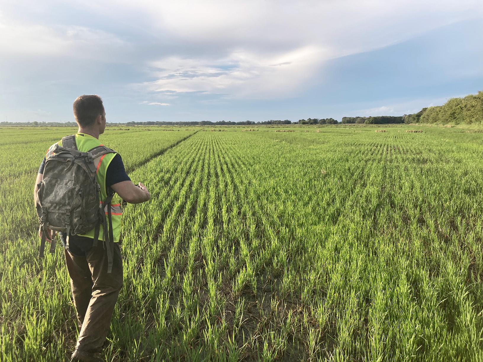
EOR water resource and civil engineers worked closely with the Army Corps of Engineers, the United Stated Department of Agriculture, and the Farm Service Agency to re-zone 880 acres of irrigated rice field located along a waterway for a utility-scaled solar development. To complete this process, the land (which had previously been flooded annually for rice farming) had to be designated as 'non-wetland'—thereby avoiding the federal permitting nexus required of U.S. waters.
The re-zoning process required additional modeling to demonstrate that the site was not in the 100-yr floodplain (as FEMA mapping suggested) and therefore to be excluded from governing regulations and zoning. EOR environmental scientists also conducted environmental site assessments, cultural resource reports, and threatened & endangered species reports to successfully demonstrate to the regulatory agencies that there were no further significant issues with the site for solar-use purposes.

Client Benefits
- A single consultant coordinating environmental permitting, construction permitting, and forthcoming civil design.
- Critical revision of floodplain boundaries and floodplain mapping
- Extensive work with local and federal agencies to determine no wetlands were on site, thereby avoiding federal permitting and resulting in significant cost-savings.
Related Projects
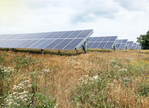
Solar as Restorative Site
Use of community solar gardens to restore wetlands, habitat, and site hydrology.
Wind & Solar Ordinances
Utility-scale wind & solar ordinance revision, research, and stakeholder support.
Fen Monitoring for Utility
Hydrologic, chemical, and isotopic groundwater monitoring for utility crossing.