
Rare Plant Survey for Utility Installation
Rare Plant Survey for Utility Installation
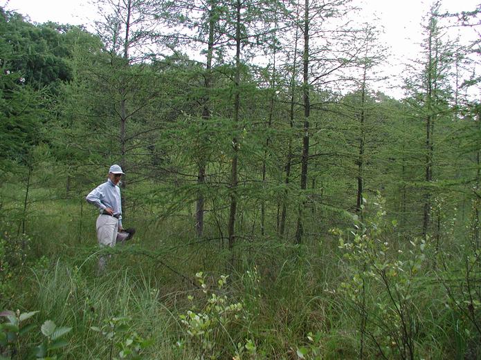
EOR conducted threatened, endangered, or sensitive species (TES) searches in forest and wetland communities along a 3-mile segment of County Road 7. This segment of road is USFS land and a potential site for underground utility installation. EOR used MN GAP Cover Types and its prior knowledge to conduct off-site screening of 49 species, and associated species, on the regional R9 species list. On-site searches were also conducted and included direct species searches during appropriate seasonal conditions. EOR created a database of the species survey data as well as a GIS map ID for each MN Gap Cover Type. The map included species encountered, habitat notes, aspect, moisture conditions, soil conditions, solar exposure, and dominant flora.
Client Benefits
- EOR’s 20+ years of experience identifying rare plants.
- Data collection & documentation consistent with federal Biological Assessment reporting.
- Rare species locations were cross-referenced to data sheets and population data provided for future species management and impact avoidance.
Related Projects
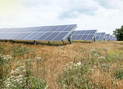
Solar as Restorative Site
Use of community solar gardens to restore wetlands, habitat, and site hydrology.
Wind & Solar Ordinances
Utility-scale wind & solar ordinance revision, research, and stakeholder support.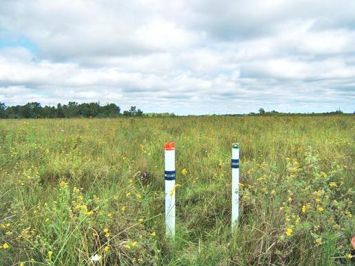
Fen Monitoring for Utility
Hydrologic, chemical, and isotopic groundwater monitoring for utility crossing.